
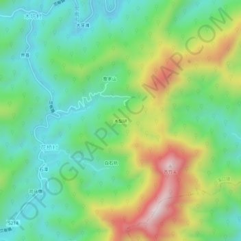
木梨硔 topographic map
Interactive map
Click on the map to display elevation.
About this map
Name: 木梨硔 topographic map, elevation, terrain.
Location: 木梨硔, 休宁县, 黄山市, 安徽省, 中国 (29.62832 117.98174 29.66832 118.02174)
Average elevation: 391 m
Minimum elevation: 174 m
Maximum elevation: 816 m
Other topographic maps
Click on a map to view its topography, its elevation and its terrain.