
镇康县 topographic map
Interactive map
Click on the map to display elevation.
About this map
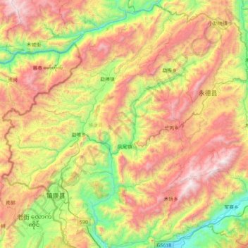
Name: 镇康县 topographic map, elevation, terrain.
Location: 镇康县, 临沧市, 云南省, 中国 (23.62948 98.67345 24.25940 99.37737)
Average elevation: 1,509 m
Minimum elevation: 495 m
Maximum elevation: 2,948 m
Other topographic maps
Click on a map to view its topography, its elevation and its terrain.