
南定河 topographic map
Interactive map
Click on the map to display elevation.
About this map
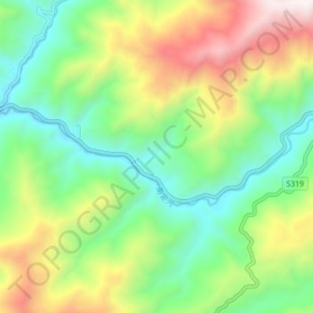
Name: 南定河 topographic map, elevation, terrain.
Location: 南定河, 幸福镇, 云县, 临沧市, 云南省, 中国 (24.08890 99.82686 24.10876 99.89615)
Average elevation: 1,255 m
Minimum elevation: 805 m
Maximum elevation: 2,049 m