
凤尾镇 topographic map
Interactive map
Click on the map to display elevation.
About this map
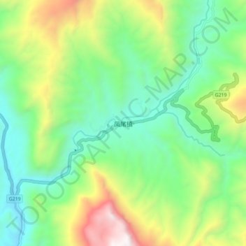
Name: 凤尾镇 topographic map, elevation, terrain.
Location: 凤尾镇, 临沧市, 云南省, 中国 (23.84774 98.98086 23.92774 99.06086)
Average elevation: 1,185 m
Minimum elevation: 655 m
Maximum elevation: 2,295 m
Other topographic maps
Click on a map to view its topography, its elevation and its terrain.