
上都镇 topographic map
Interactive map
Click on the map to display elevation.
About this map
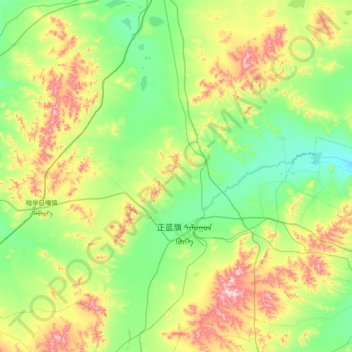
Name: 上都镇 topographic map, elevation, terrain.
Location: 上都镇, 正蓝旗, 锡林郭勒盟, 内蒙古自治区, 中国 (42.09477 115.45975 42.56614 116.21918)
Average elevation: 1,368 m
Minimum elevation: 1,246 m
Maximum elevation: 1,674 m
Other topographic maps
Click on a map to view its topography, its elevation and its terrain.