
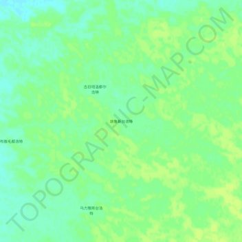
胡鲁斯台浩特 topographic map
Interactive map
Click on the map to display elevation.
About this map
Name: 胡鲁斯台浩特 topographic map, elevation, terrain.
Location: 胡鲁斯台浩特, 赛音呼都嘎苏木, 正蓝旗, 锡林郭勒盟, 内蒙古自治区, 中国 (42.81595 116.07678 42.85595 116.11678)
Average elevation: 1,330 m
Minimum elevation: 1,322 m
Maximum elevation: 1,335 m
Other topographic maps
Click on a map to view its topography, its elevation and its terrain.