
乌兰浩特 topographic map
Interactive map
Click on the map to display elevation.
About this map
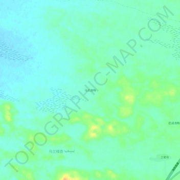
Name: 乌兰浩特 topographic map, elevation, terrain.
Location: 乌兰浩特, 那日图苏木, 正蓝旗, 锡林郭勒盟, 内蒙古自治区, 中国 (43.04500 115.95953 43.08500 115.99953)
Average elevation: 1,292 m
Minimum elevation: 1,283 m
Maximum elevation: 1,314 m
Other topographic maps
Click on a map to view its topography, its elevation and its terrain.