
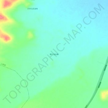
那仁宝拉格 topographic map
Interactive map
Click on the map to display elevation.
About this map
Name: 那仁宝拉格 topographic map, elevation, terrain.
Location: 那仁宝拉格, 上都镇, 正蓝旗, 锡林郭勒盟, 内蒙古自治区, 中国 (42.14962 115.50809 42.18962 115.54809)
Average elevation: 1,334 m
Minimum elevation: 1,315 m
Maximum elevation: 1,394 m