
官洲河 topographic map
Interactive map
Click on the map to display elevation.
About this map
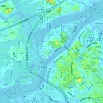
Name: 官洲河 topographic map, elevation, terrain.
Location: 官洲河, 海珠区, 广州市, 广东省, 中国 (23.04552 113.34293 23.08030 113.38964)
Average elevation: 6 m
Minimum elevation: -5 m
Maximum elevation: 39 m
Other topographic maps
Click on a map to view its topography, its elevation and its terrain.