
新港街道 topographic map
Interactive map
Click on the map to display elevation.
About this map
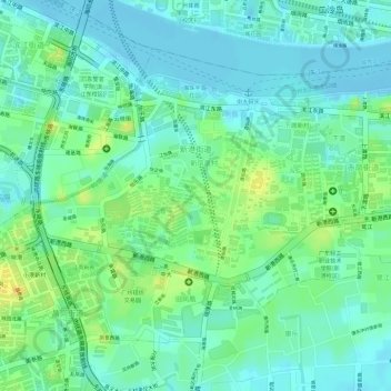
Name: 新港街道 topographic map, elevation, terrain.
Location: 新港街道, 海珠区, 广州市, 广东省, 510275, 中国 (23.08927 113.27778 23.10963 113.30273)
Average elevation: 13 m
Minimum elevation: -9 m
Maximum elevation: 36 m