
镜湖 topographic map
Interactive map
Click on the map to display elevation.
About this map
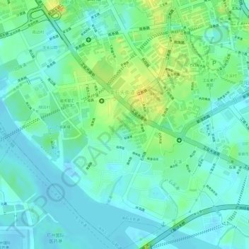
Name: 镜湖 topographic map, elevation, terrain.
Location: 镜湖, 保利花园, 南石头街道, 海珠区, 广州市, 广东省, 中国 (23.07431 113.26781 23.07480 113.26836)
Average elevation: 11 m
Minimum elevation: -3 m
Maximum elevation: 31 m
Other topographic maps
Click on a map to view its topography, its elevation and its terrain.