
昆都仑区 topographic map
Interactive map
Click on the map to display elevation.
About this map
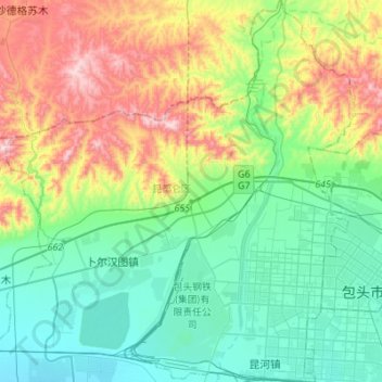
Name: 昆都仑区 topographic map, elevation, terrain.
Location: 昆都仑区, 包头市, 内蒙古自治区, 014000, 中国 (40.60411 109.60675 40.81225 109.86796)
Average elevation: 1,204 m
Minimum elevation: 1,013 m
Maximum elevation: 1,655 m
Other topographic maps
Click on a map to view its topography, its elevation and its terrain.