
石宝镇 topographic map
Interactive map
Click on the map to display elevation.
About this map
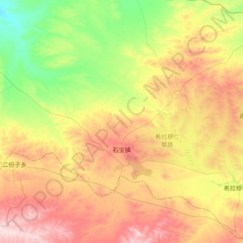
Name: 石宝镇 topographic map, elevation, terrain.
Location: 石宝镇, 达尔罕茂明安联合旗, 包头市, 内蒙古自治区, 014000, 中国 (41.30838 110.61615 41.56013 111.16297)
Average elevation: 1,627 m
Minimum elevation: 1,433 m
Maximum elevation: 1,907 m
Other topographic maps
Click on a map to view its topography, its elevation and its terrain.