
连州市 topographic map
Interactive map
Click on the map to display elevation.
About this map
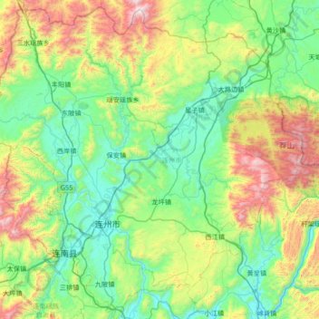
Name: 连州市 topographic map, elevation, terrain.
Location: 连州市, 清远市, 广东省, 中国 (24.61499 112.11445 25.19432 112.78144)
Average elevation: 489 m
Minimum elevation: 65 m
Maximum elevation: 1,693 m
Other topographic maps
Click on a map to view its topography, its elevation and its terrain.