
凤凰村 topographic map
Interactive map
Click on the map to display elevation.
About this map
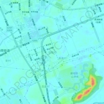
Name: 凤凰村 topographic map, elevation, terrain.
Location: 凤凰村, 清远市, 广东省, 511518, 中国 (23.63906 113.04451 23.67906 113.08451)
Average elevation: 17 m
Minimum elevation: 7 m
Maximum elevation: 81 m
Other topographic maps
Click on a map to view its topography, its elevation and its terrain.