
下雷 topographic map
Interactive map
Click on the map to display elevation.
About this map
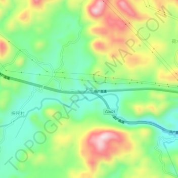
Name: 下雷 topographic map, elevation, terrain.
Location: 下雷, 清远市, 广东省, 中国 (24.46996 112.51899 24.50996 112.55899)
Average elevation: 389 m
Minimum elevation: 234 m
Maximum elevation: 628 m
Other topographic maps
Click on a map to view its topography, its elevation and its terrain.