
云台山 topographic map
Interactive map
Click on the map to display elevation.
About this map
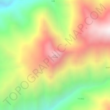
Name: 云台山 topographic map, elevation, terrain.
Location: 云台山, 丽江市, 云南省, 中国 (26.31952 100.68440 26.31962 100.68450)
Average elevation: 2,263 m
Minimum elevation: 1,749 m
Maximum elevation: 2,716 m
Other topographic maps
Click on a map to view its topography, its elevation and its terrain.