
玉湖村 topographic map
Interactive map
Click on the map to display elevation.
About this map
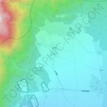
Name: 玉湖村 topographic map, elevation, terrain.
Location: 玉湖村, 丽江市, 云南省, 中国 (26.99462 100.19263 27.03462 100.23263)
Average elevation: 2,836 m
Minimum elevation: 2,593 m
Maximum elevation: 3,813 m
Other topographic maps
Click on a map to view its topography, its elevation and its terrain.