
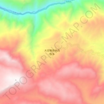
大安彝族纳西族乡 topographic map
Interactive map
Click on the map to display elevation.
About this map
Name: 大安彝族纳西族乡 topographic map, elevation, terrain.
Location: 大安彝族纳西族乡, 丽江市, 云南省, 中国 (26.71661 100.45095 26.79661 100.53095)
Average elevation: 2,574 m
Minimum elevation: 1,321 m
Maximum elevation: 3,462 m
Other topographic maps
Click on a map to view its topography, its elevation and its terrain.