
江山村 topographic map
Interactive map
Click on the map to display elevation.
About this map
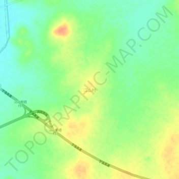
Name: 江山村 topographic map, elevation, terrain.
Location: 江山村, 滁州市, 安徽省, 中国 (32.89796 117.74859 32.93796 117.78859)
Average elevation: 31 m
Minimum elevation: 13 m
Maximum elevation: 52 m
Other topographic maps
Click on a map to view its topography, its elevation and its terrain.