
定远县 topographic map
Interactive map
Click on the map to display elevation.
About this map
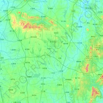
Name: 定远县 topographic map, elevation, terrain.
Location: 定远县, 滁州市, 安徽省, 中国 (32.20335 117.18719 32.70969 118.10951)
Average elevation: 59 m
Minimum elevation: 13 m
Maximum elevation: 367 m
Other topographic maps
Click on a map to view its topography, its elevation and its terrain.