
滹沱河 topographic map
Interactive map
Click on the map to display elevation.
About this map
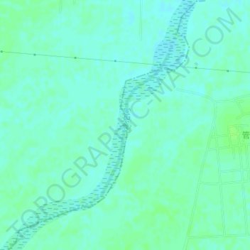
Name: 滹沱河 topographic map, elevation, terrain.
Location: 滹沱河, 无极县, 石家庄市, 河北省, 中国 (38.11681 115.02136 38.13186 115.03041)
Average elevation: 44 m
Minimum elevation: 40 m
Maximum elevation: 48 m
Other topographic maps
Click on a map to view its topography, its elevation and its terrain.