
南村镇 topographic map
Interactive map
Click on the map to display elevation.
About this map
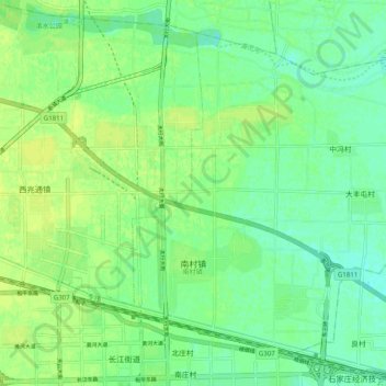
Name: 南村镇 topographic map, elevation, terrain.
Location: 南村镇, 长安区, 石家庄市, 河北省, 中国 (38.04235 114.60210 38.10723 114.70109)
Average elevation: 66 m
Minimum elevation: 58 m
Maximum elevation: 73 m
Other topographic maps
Click on a map to view its topography, its elevation and its terrain.