
槐河 topographic map
Interactive map
Click on the map to display elevation.
About this map
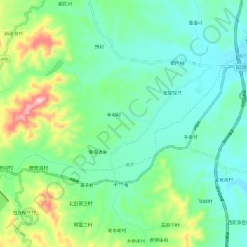
Name: 槐河 topographic map, elevation, terrain.
Location: 槐河, 赞皇县, 石家庄市, 河北省, 中国 (37.62947 114.21217 37.67264 114.31194)
Average elevation: 251 m
Minimum elevation: 151 m
Maximum elevation: 542 m
Other topographic maps
Click on a map to view its topography, its elevation and its terrain.