
白音席勒街道办 topographic map
Interactive map
Click on the map to display elevation.
About this map
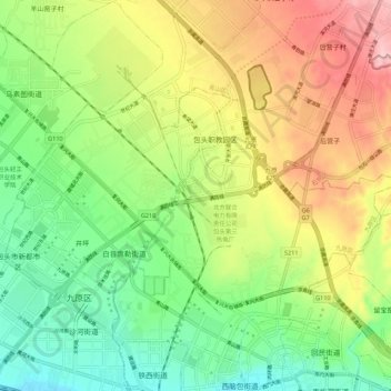
Name: 白音席勒街道办 topographic map, elevation, terrain.
Location: 白音席勒街道办, 九原区, 包头市, 内蒙古自治区, 014000, 中国 (40.60760 109.94261 40.65398 110.05247)
Average elevation: 1,100 m
Minimum elevation: 1,022 m
Maximum elevation: 1,210 m
Other topographic maps
Click on a map to view its topography, its elevation and its terrain.