
麻池镇 topographic map
Interactive map
Click on the map to display elevation.
About this map
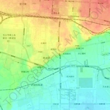
Name: 麻池镇 topographic map, elevation, terrain.
Location: 麻池镇, 九原区, 包头市, 内蒙古自治区, 014000, 中国 (40.53644 109.78408 40.61698 109.88123)
Average elevation: 1,027 m
Minimum elevation: 1,005 m
Maximum elevation: 1,056 m
Other topographic maps
Click on a map to view its topography, its elevation and its terrain.