
万水泉镇 topographic map
Interactive map
Click on the map to display elevation.
About this map
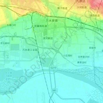
Name: 万水泉镇 topographic map, elevation, terrain.
Location: 万水泉镇, 包头市稀土高新区, 九原区, 包头市, 内蒙古自治区, 014000, 中国 (40.50484 109.82753 40.59809 109.98154)
Average elevation: 1,016 m
Minimum elevation: 1,001 m
Maximum elevation: 1,079 m
Other topographic maps
Click on a map to view its topography, its elevation and its terrain.