
小草场村 topographic map
Interactive map
Click on the map to display elevation.
About this map
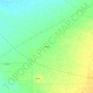
Name: 小草场村 topographic map, elevation, terrain.
Location: 小草场村, 土默特左旗, 呼和浩特市, 内蒙古自治区, 中国 (40.50401 111.61439 40.54401 111.65439)
Average elevation: 1,043 m
Minimum elevation: 1,030 m
Maximum elevation: 1,057 m
Other topographic maps
Click on a map to view its topography, its elevation and its terrain.