
小黑河镇 topographic map
Interactive map
Click on the map to display elevation.
About this map
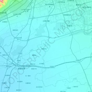
Name: 小黑河镇 topographic map, elevation, terrain.
Location: 小黑河镇, 玉泉区, 呼和浩特市, 内蒙古自治区, 中国 (40.63220 111.50154 40.79314 111.74102)
Average elevation: 1,034 m
Minimum elevation: 1,012 m
Maximum elevation: 1,515 m
Other topographic maps
Click on a map to view its topography, its elevation and its terrain.