
南柜村 topographic map
Interactive map
Click on the map to display elevation.
About this map
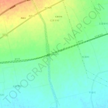
Name: 南柜村 topographic map, elevation, terrain.
Location: 南柜村, 呼和浩特市, 内蒙古自治区, 中国 (40.67279 111.05327 40.71279 111.09327)
Average elevation: 1,030 m
Minimum elevation: 1,015 m
Maximum elevation: 1,055 m
Other topographic maps
Click on a map to view its topography, its elevation and its terrain.