
南兵州亥村 topographic map
Interactive map
Click on the map to display elevation.
About this map
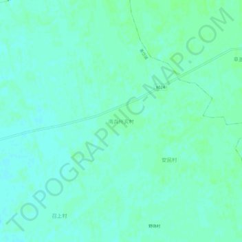
Name: 南兵州亥村 topographic map, elevation, terrain.
Location: 南兵州亥村, 呼和浩特市, 内蒙古自治区, 中国 (40.52740 111.11385 40.56740 111.15385)
Average elevation: 994 m
Minimum elevation: 990 m
Maximum elevation: 997 m
Other topographic maps
Click on a map to view its topography, its elevation and its terrain.