
昌邑区 topographic map
Interactive map
Click on the map to display elevation.
About this map
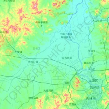
Name: 昌邑区 topographic map, elevation, terrain.
Location: 昌邑区, 吉林市, 吉林省, 132001, 中国 (43.83077 125.99399 44.19089 126.59844)
Average elevation: 225 m
Minimum elevation: 166 m
Maximum elevation: 555 m
Other topographic maps
Click on a map to view its topography, its elevation and its terrain.