
松花湖 topographic map
Interactive map
Click on the map to display elevation.
About this map
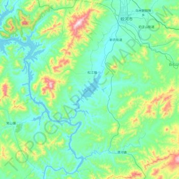
Name: 松花湖 topographic map, elevation, terrain.
Location: 松花湖, 吉林市, 吉林省, 中国 (43.21750 126.68125 43.77880 127.23449)
Average elevation: 414 m
Minimum elevation: 243 m
Maximum elevation: 1,279 m
Other topographic maps
Click on a map to view its topography, its elevation and its terrain.