
贾家屯 topographic map
Interactive map
Click on the map to display elevation.
About this map
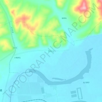
Name: 贾家屯 topographic map, elevation, terrain.
Location: 贾家屯, 吉林市, 吉林省, 中国 (42.98332 126.75250 43.02332 126.79250)
Average elevation: 292 m
Minimum elevation: 257 m
Maximum elevation: 431 m
Other topographic maps
Click on a map to view its topography, its elevation and its terrain.