
德田村 topographic map
Interactive map
Click on the map to display elevation.
About this map
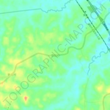
Name: 德田村 topographic map, elevation, terrain.
Location: 德田村, 文昌市, 海南省, 中国 (19.57228 110.70121 19.61228 110.74121)
Average elevation: 15 m
Minimum elevation: 0 m
Maximum elevation: 43 m
Other topographic maps
Click on a map to view its topography, its elevation and its terrain.