
淇水湾 topographic map
Interactive map
Click on the map to display elevation.
About this map
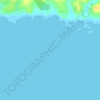
Name: 淇水湾 topographic map, elevation, terrain.
Location: 淇水湾, 文昌市, 海南省, 中国 (19.63400 110.99843 19.63410 110.99853)
Average elevation: 2 m
Minimum elevation: -1 m
Maximum elevation: 26 m
Other topographic maps
Click on a map to view its topography, its elevation and its terrain.