
南水道 topographic map
Interactive map
Click on the map to display elevation.
About this map
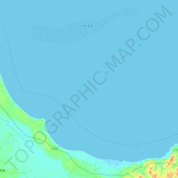
Name: 南水道 topographic map, elevation, terrain.
Location: 南水道, 文昌市, 海南省, 中国 (20.00198 110.70657 20.15661 110.92706)
Average elevation: 2 m
Minimum elevation: -3 m
Maximum elevation: 56 m
Other topographic maps
Click on a map to view its topography, its elevation and its terrain.