
梅子园 topographic map
Interactive map
Click on the map to display elevation.
About this map
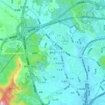
Name: 梅子园 topographic map, elevation, terrain.
Location: 梅子园, 吉华街道, 龙岗区, 深圳市, 广东省, 518100, 中国 (22.60348 114.08084 22.64348 114.12084)
Average elevation: 92 m
Minimum elevation: 24 m
Maximum elevation: 405 m
Other topographic maps
Click on a map to view its topography, its elevation and its terrain.