
坂田街道 topographic map
Interactive map
Click on the map to display elevation.
About this map
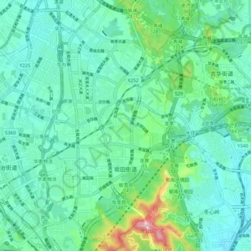
Name: 坂田街道 topographic map, elevation, terrain.
Location: 坂田街道, 龙岗区, 深圳市, 广东省, 518100, 中国 (22.59511 114.04569 22.67799 114.08858)
Average elevation: 96 m
Minimum elevation: 17 m
Maximum elevation: 411 m
Other topographic maps
Click on a map to view its topography, its elevation and its terrain.