
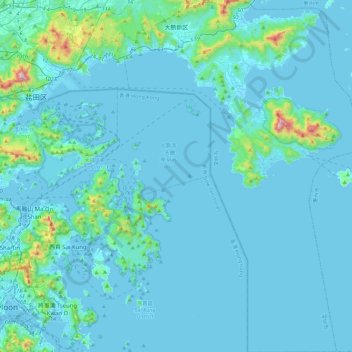
大鹏新区 topographic map
Interactive map
Click on the map to display elevation.
About this map
Name: 大鹏新区 topographic map, elevation, terrain.
Location: 大鹏新区, 龙岗区, 深圳市, 广东省, 518100, 中国 (22.25733 114.33277 22.67262 114.64619)
Average elevation: 61 m
Minimum elevation: -4 m
Maximum elevation: 922 m
Other topographic maps
Click on a map to view its topography, its elevation and its terrain.