
南湾街道 topographic map
Interactive map
Click on the map to display elevation.
About this map
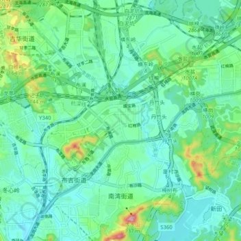
Name: 南湾街道 topographic map, elevation, terrain.
Location: 南湾街道, 龙岗区, 深圳市, 广东省, 518100, 中国 (22.59275 114.10804 22.66534 114.17151)
Average elevation: 66 m
Minimum elevation: 17 m
Maximum elevation: 239 m
Other topographic maps
Click on a map to view its topography, its elevation and its terrain.