
贺村镇 topographic map
Interactive map
Click on the map to display elevation.
About this map
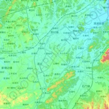
Name: 贺村镇 topographic map, elevation, terrain.
Location: 贺村镇, 江山市, 衢州市, 浙江省, 中国 (28.55432 118.41682 28.71338 118.57846)
Average elevation: 147 m
Minimum elevation: 92 m
Maximum elevation: 397 m
Other topographic maps
Click on a map to view its topography, its elevation and its terrain.