
双塔底 topographic map
Interactive map
Click on the map to display elevation.
About this map
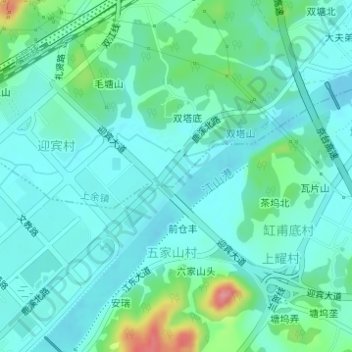
Name: 双塔底 topographic map, elevation, terrain.
Location: 双塔底, 上余镇, 江山市, 衢州市, 浙江省, 中国, 双塔公园 (28.76669 118.65310 28.76958 118.65545)
Average elevation: 101 m
Minimum elevation: 80 m
Maximum elevation: 181 m