
贺地 topographic map
Interactive map
Click on the map to display elevation.
About this map
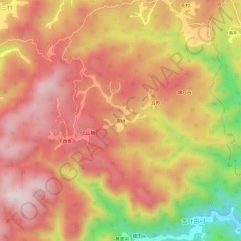
Name: 贺地 topographic map, elevation, terrain.
Location: 贺地, 江山市, 衢州市, 浙江省, 中国 (28.69759 118.74329 28.73759 118.78329)
Average elevation: 581 m
Minimum elevation: 252 m
Maximum elevation: 770 m
Other topographic maps
Click on a map to view its topography, its elevation and its terrain.