
长台溪 topographic map
Interactive map
Click on the map to display elevation.
About this map
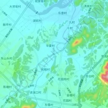
Name: 长台溪 topographic map, elevation, terrain.
Location: 长台溪, 江山市, 衢州市, 浙江省, 中国 (28.60740 118.56367 28.66908 118.59114)
Average elevation: 128 m
Minimum elevation: 100 m
Maximum elevation: 324 m
Other topographic maps
Click on a map to view its topography, its elevation and its terrain.