
北山镇 topographic map
Interactive map
Click on the map to display elevation.
About this map
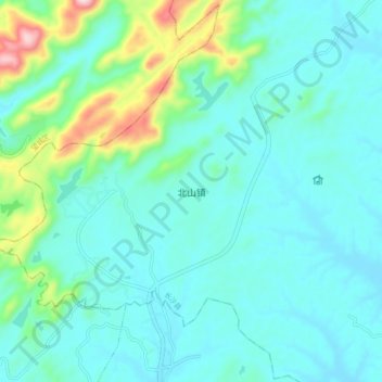
Name: 北山镇 topographic map, elevation, terrain.
Location: 北山镇, 长沙县, 长沙市, 湖南省, 中国 (28.36502 112.98026 28.44502 113.06026)
Average elevation: 108 m
Minimum elevation: 40 m
Maximum elevation: 415 m
Other topographic maps
Click on a map to view its topography, its elevation and its terrain.