
黄花镇 topographic map
Interactive map
Click on the map to display elevation.
About this map
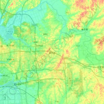
Name: 黄花镇 topographic map, elevation, terrain.
Location: 黄花镇, 长沙县, 长沙市, 湖南省, 中国 (28.14381 113.10016 28.33270 113.28072)
Average elevation: 55 m
Minimum elevation: 24 m
Maximum elevation: 110 m
Other topographic maps
Click on a map to view its topography, its elevation and its terrain.