
石子社区 topographic map
Interactive map
Click on the map to display elevation.
About this map
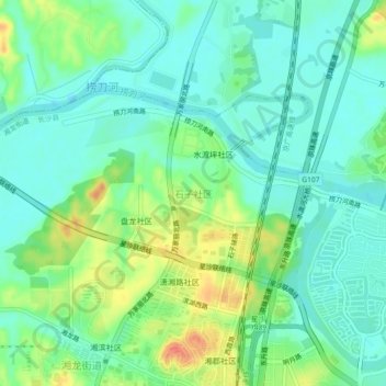
Name: 石子社区 topographic map, elevation, terrain.
Location: 石子社区, 湘龙街道, 长沙县, 长沙市, 湖南省, 中国 (28.26442 113.04051 28.30442 113.08051)
Average elevation: 40 m
Minimum elevation: 23 m
Maximum elevation: 77 m