
青龙湖镇 topographic map
Interactive map
Click on the map to display elevation.
About this map
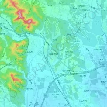
Name: 青龙湖镇 topographic map, elevation, terrain.
Location: 青龙湖镇, 房山区, 北京市, 中国 (39.73480 115.99303 39.81480 116.07303)
Average elevation: 105 m
Minimum elevation: 49 m
Maximum elevation: 465 m
Other topographic maps
Click on a map to view its topography, its elevation and its terrain.