
二街村 topographic map
Interactive map
Click on the map to display elevation.
About this map
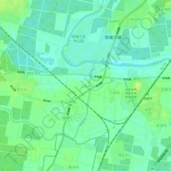
Name: 二街村 topographic map, elevation, terrain.
Location: 二街村, 房山区, 北京市, 102403, 中国 (39.57819 115.99676 39.61819 116.03676)
Average elevation: 33 m
Minimum elevation: 26 m
Maximum elevation: 41 m
Other topographic maps
Click on a map to view its topography, its elevation and its terrain.